The Black Mountains Roundabout - a 25 Mile Challenge Walk
Well, me being me - a sucker for a challenge - not content with having completed it last year, decided to go for it again and see if I could beat last years' time!!! The Black Mountains challenge is a 25 mile (actually closer to 26 miles), timed challenge hike across some of the highest mountains in the Brecon Beacons National Park - Crug Mawr, Waun Fach, Mynydd Troed, Mynydd Llangorse, Pen Allt Mawr & Table Mountain!!! Over 6790 ft of ascent over the most rugged terrain!! Here's the elevation profile (the elevation is the green line):


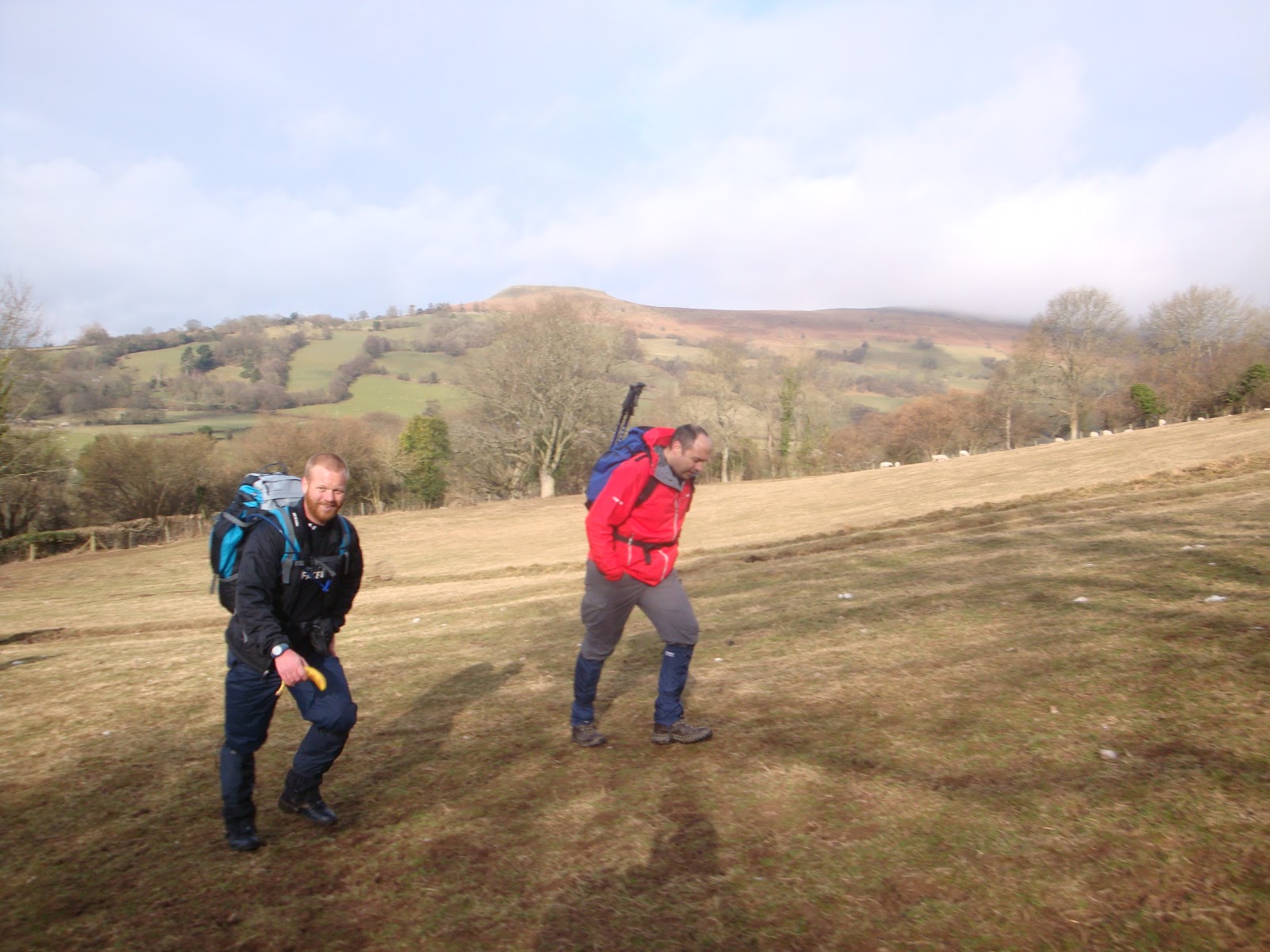
Thankfully, it was nice and sunny to start with, just a few clouds here and there....

We start in Crickhowell and follow the long country lane towards the villiage
of Llanbeder. It's a long, uphill slog to start with.......

To the left we can see the last mountain we'll climb and descend - Table mountain.

After a mile or so, the we have our first bit of downhill.....

We leave the country lanes and head for the base of our first mountain -Crug Mawr.
The track becomes rocky. Care is needed here.....

It winds up through the woods...

It gets steeper....

....and steeper....

Everyone's breathing hard by this point.......and over the stile we go...........

...and we are now walking through hilly fields.........the view behind us.......

The elevation gets steeper..........up...up.... ...

Some scary cows and their calves.
Table mountain in the distance - from another angle..

Aw - what a cute little calf!

And we're STILL going up!
Going well.........

Lots of sheep and lambs in this field....

Aw! This cute little lamb is bleating to it's mum, trying to find her.
You'll be glad to know, they both reunite!!

Onwards and upwards! Ouch!

The track becomes rocky once more...

And the muddy puddles begin......

OMG! 2 Miles in and we are soaked with sweat! Our faces are so sweaty,
they look like we've had buckets of water chucked over us!!

Well - we now get off the track and we are on the mountain.......

View to the left....

Man on a mission there!

Oh dear! Up we go again!

First sight of snow on the left there....

All chit chat stops for a while....all you can hear is heavy breathing...It's steep!

The view behind us. Table mountain to the right.


In comes the mist and the rain....

Snow on the nearby mountains.....

The sun is still out and it's warm enough to walk without a coat on.....

View to the left....

We are like little ants on the landscape....


The track starts to get rather muddy.....

Up we go.......

Visibility starts to diminish....

There are lots more patches of snow now. In the mist ahead, we reached checkpoint 1 at the summit of Crug Mawr @ 550ft. It starts to drizzle, so on with the raincoats.
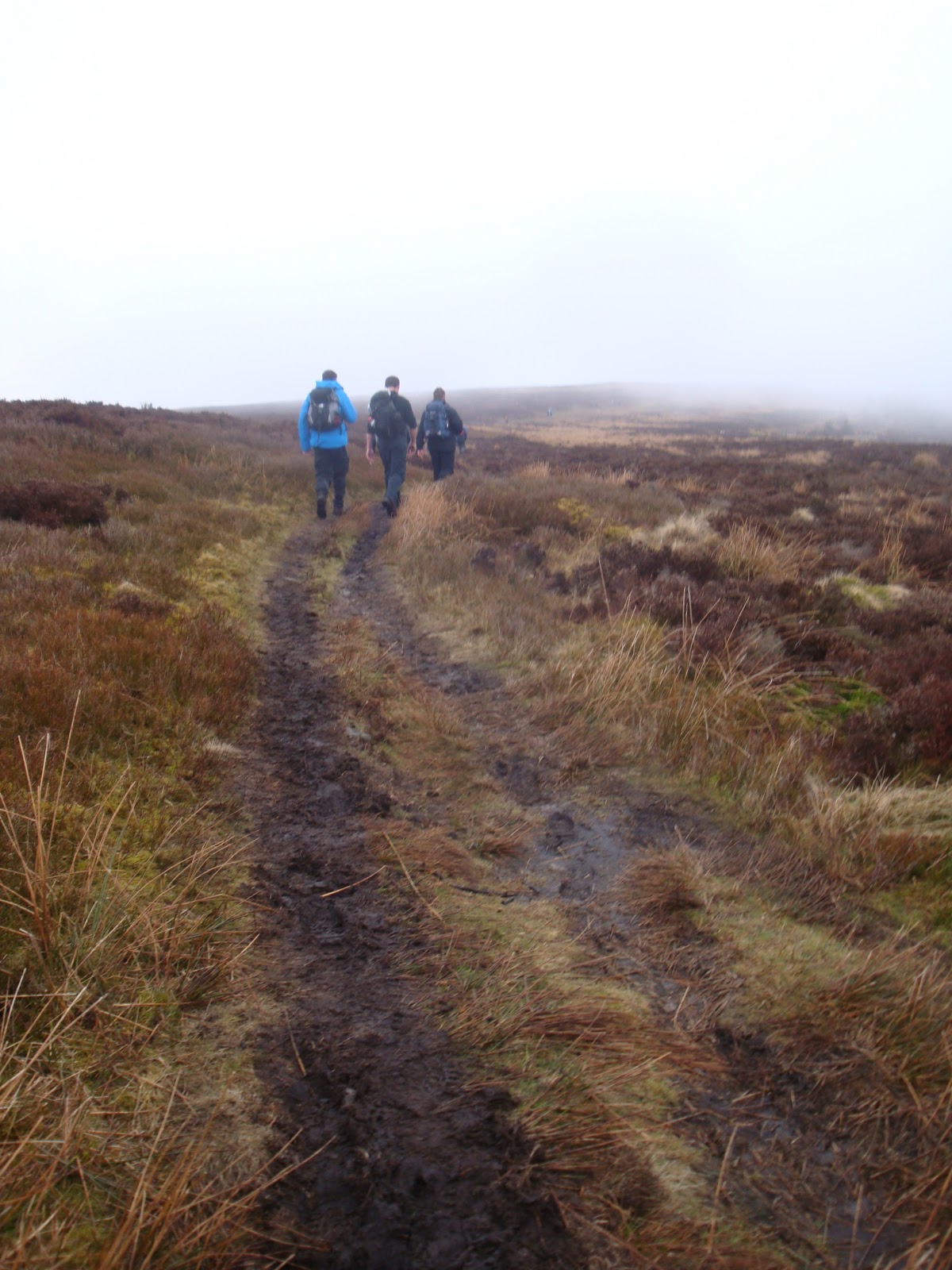
Flattens out for a while - as we head for our next destination - Waun Fach.

The track is narrow - sometimes it's easier to walk off it...

Getting pretty muddy!


...then slushy.....

...then snowy....

Visibility is slightly better here...

So much mud, we walk on the grass.... Is that a person in the distance?

Have to be careful stepping on the snow as there are muddy puddles hidden beneath!

Following the footprints in the snow.......
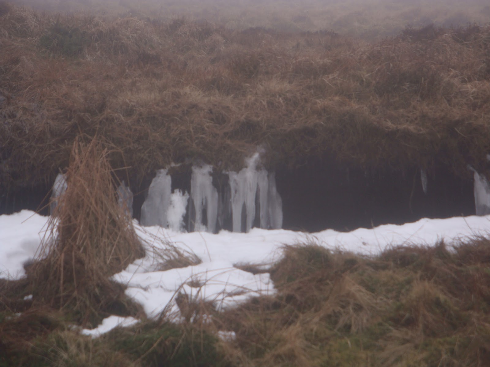
Icicles forming from a stream flowing through the grass.......

Oooooooo - some other walkers!!!

Need to stick close together here as visibiity is awful!

Here comes the snow......

Think we are in the North Pole here!!

Thank god for footprints in the snow! No mountains to navigate with -
we can see nothing! Hope the footprints are going the right way!

Yay! Thanks to my husbands GPS device, we finally find our next checkpoint! Have never been so glad to see the mountain rescue people huddled behind a rock, waiting to stamp our cards!!

Well, here we are - still alive and looking surprisingly fresh! 10 miles in! 16 to go!!


The snow is getting deeper!

Suddenly, the snow clears and visibility improves dramatically! Now it's time for a long descent to our next checkpoint at the base of Mynydd Troed - the huge mountain in the distance on the left. We hit gale force winds at this point and I get blown off my feet, twice!!

The trail is really muddy along here and we are slipping and sliding all over the place!!


I look back - we've just descended from somewhere in the clouds up there!
It was pretty steep! Baby steps all the way down....

Oh dear! Is that Mynydd Troed in the distance??? That's our next challenge!!!
A beast of a mountain!! Can't even see it's true magnificence,
as it's summit is hidden in the cloud!

Finally down off the mountain.......

We follow the country lane down to the base of Mynydd Troed - our next checkpoint.
Mountain rescue await us with squash and some biscuits! Mmmmmm - custard creams :o)

This picture doesn't do it justice really as to the size of this mother of a mountain,
until you notice just hoe tiny those people half way up look!!


The view from about a thrird of the way up......

Up into the gods......people just disapperaing into the mist.......

We were so pleased for these footholds in the mountain, despite the fact that they were really muddy and slippy. It was sooooo steep, I think we would have just slid back down the mountain without them!

Is that the summit ahead???

No, it wasn't! A false summit! Arrrggghhhh! My calves are
killing and my thighs feel like they are going to burst out of my legs at any moment!

Last few steps!! Ouch!!!

Yo Adrian! I did it!!! Totally exhausted, but I reached the summit - our next checkpoint!
The view is non-existent, but I don't care!! I did it!!!Super chuffed!!
An elevation gain of 831ft in just 0.8 of a mile!!

Now, it's time go go back down the other side. Enroute for our next checkpoint,
at the top of Mynydd Llangorse. It's over there somewhere!!
We hit gale force winds once more.....

It's a difficult descent. Thankfully, there are footholds again.
We need to be careful though as they are slippy! Visibility is junk!

The wind blows and all of a sudden, things become clearer....

What's that? A view!!!! Llangorse lake is in the distance, to the right.
We need to climb the mountain ahead - Mynydd Llangorse

OMG! Mynydd Llangorse comes far too quickly!
My legs haven't recovered from the last mountain yet!!
It's head down and dig in deep - the summit is in sight!!!
We reached the checkpoint at the top..

....and, it was down the other side...a long, rocky, muddy descent down to the road at Pengenffordd...We had an hour to reach it, otherwise we would be disqualified!!!

We finally join the country lane......

We get to the checkpoint at 3.25 - with 35 mins to spare!!
We have now walked 20 miles!! Only 6 to go!

Off the road onto a rocky, muddy track.....

Across a river......

....and up a country lane.Mynydd Llangorse, now behind us in the distance....what a beast!!!

........a long, slow incline up a stoney path.....

........followed by a shorty sharp incline up a field. Next checkpoint is Pen Allt Mawr......

Wow! Look at the view! We have walked ALL those mountains in the distance...and more!!!!

Looks like we could be headed for more snow soon......

Getting higher up - what a view!!! Mynydd Llangorse in the centre and
Mynydd Troed to it's right. It looks like a mere hillock now!!

Up and up we go.....our legs are screaming at us now......starting to run out of juice!!


This is the last time we have a view for quite some time!!

We don't think we are EVER going to reach the top of Pen Allt Mawr.
Then, all of a sudden, through the mist we can see the last incline to the summit!!
We are sooooo pleased to reach the checkpoint!!!

This is what the view SHOULD have been like - actually, praps it was a good thing
we COULDN'T see what we were letting ourselves in for!! It was soooo steep!!!

This was last year's the view from the top. We couldn't see anything today - just mist!!!

Another of last years' views from the summit. You can appreciate just how high
Mynyydd Llangorse is when you see the tiny patchwork fields around it!!

This part was really difficult and went on for ages. Our feet felt really heavy.
I tripped at one point and gave my knee a real bash on one of the rocks!!

The mist surrounded us for the duration, as we tried to locate Table Mountain with the
GPS device we had. By this time we had befriended lots of other walkers who were lost
and could not get their bearings using a map and the surrounding mountains as a guide -
there was nothing to see!!! We became their guides for the remainder of the walk!!!!

At last, we find the checkpoint at the summit of Table Mountain!
I am very tempted to join the mountain rescue man in his cosy sleeping bag,
but it's not far to go now - 3 miles!!! We begin the descent.....

What's that in the distance? Houses! It's civilisation! Crickhowell! like a long lost friend! I love you!!! All I can think about is my chicken madras takeaway waiting for me in the house!! Mmmmmmmmmm :o)

Well, after walking for 10hours and 53 minutes - we have finally finished!! I have burnt off over 3000 calories and my pedometer tells me I have taken 32,495 steps!!! My thighs,calves,knees and shoulders are killing, but I feel fantastic!! What a challenge!! I feel so proud to have completed the course! And, what's even better is, we finished 45 minutes quicker than last year!!! Many walkers retired early due to the weather...us walkers who have stayed the course are in a minority!!
Bring on the next walk I say - The Big Black Mountains Challenge - May 18th ;o)
i enjoyed your photos and the story that went with them, gave me an insight as to whats waiting for me come may 18th 2013.I can see why you call your self krrazykelly lol.
ReplyDeletesee you saturday